4x4maps
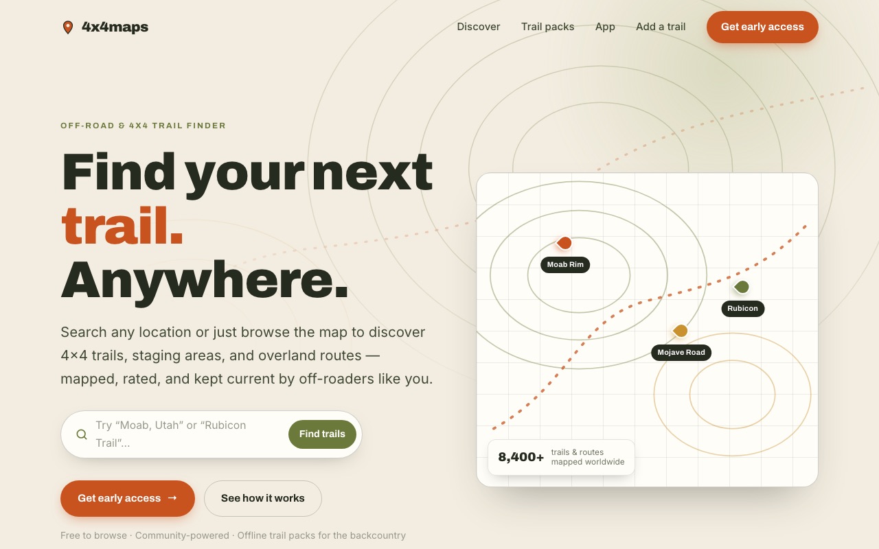
A product site for an off-road trail platform — 8,400+ trails, a map at the centre, and an audience that shops on a phone with one bar of signal.
What changed
What they have now
- A promise you grasp instantly — find your next trail, anywhere
- The map treated as the product, not decoration around the copy
- Location search with difficulty ratings and notes from people who've driven it
- Downloadable regional trail packs for use with no signal at all
- Real trail photography — Moab Rim, Mojave Road, Rubicon — recognised on sight by the audience
- An early-access list capturing demand ahead of the mobile app
4x4maps aggregates 8,400+ mapped off-road trails worldwide — routes, staging areas, and overland expeditions — findable by browsing or by location.
The map is the product
The temptation with a data-heavy product is to describe the data. But nobody falls in love with “8,400 trails” as a sentence; they fall in love with finding their local trail on a map and realising it’s all there.
So the layout puts the map at the centre and lets the number act as reassurance rather than as the pitch. The count matters — it’s what makes the thing credible — but it works as evidence, not as the headline.
Designed for one bar of signal
This audience is unusual in a way that drives the whole design: they’re outdoors, on a phone, often nearly out of signal, and sometimes wearing gloves. Every decision follows from that — mobile-first layout, large tap targets, fast pages, and offline downloads treated as a headline feature rather than a footnote.
That’s also why the trail packs are positioned so prominently. Offline access isn’t a nice extra in the backcountry; it’s the entire point, because the moment you actually need the map is the moment you have no connection.
Community as the growth engine
A trail database is only as good as how current it is, and no small team can keep 8,400 trails accurate alone. So contribution is built into the site as a first-class path: users add trails, staging areas, and current conditions.
Every contribution makes the product more valuable to the next person, which is the kind of compounding loop worth designing the site around rather than bolting on later.
More of our work

Elizabeth Greenfield Functional Wellness
Stuck on Squarespace with content she couldn't update and services nobody could find. Now she runs the site herself — and it's bringing in bookings.
João de Brito, painter
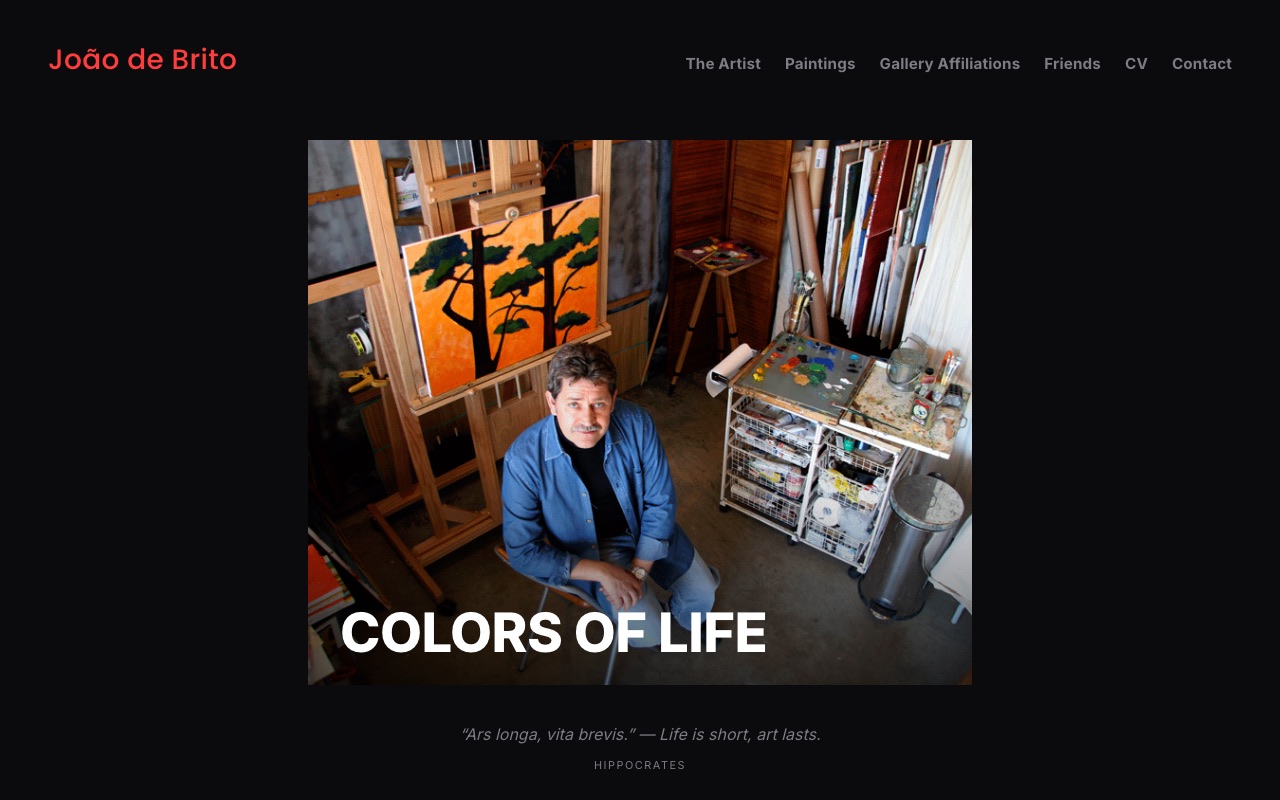
Squarespace was raising his renewal for services he didn't use, and he couldn't get in to update his own gallery. He kept the design he liked and left anyway.

Inspiring Founders
A community site that had to sell a serious annual commitment — and screen out the wrong applicants before they applied.
No cost, no pitch
Want yours to look after itself like this?
Thirty minutes on a call. Tell us what's wrong with it, and we'll tell you straight what it would take to fix — whether that's a small repair or starting over. If it's not a fit, we'll say so.